OSM Science 2025 - Call for Abstracts
OSM Science 2025
OSM Science 2025 (also known as the Academic Track of State of the Map) is an annual international meeting focused on the scientific study of OpenStreetMap (OSM). The 8th edition of OSM Science will be part of the State of the Map 2025 conference, taking place on October 3-5 in Manila (Philippines), where a full day of sessions will be dedicated to scientific research about, and with, OpenStreetMap (see the 2024, 2023, 2022, 2021, 2020, 2019 and 2018 editions). The goal of OSM Science 2025 is to showcase the research and innovation of scientific investigations into OpenStreetMap, while at the same time providing a bridge to connect members of the OpenStreetMap community and the scientific community through an open platform to exchange ideas and opportunities for increased collaboration. We expect empirical, methodological, conceptual, or literature-review-based contributions addressing any scientific aspect related to OpenStreetMap, in particular, but not limited to: data collection, integration and quality analysis in OpenStreetMap; contribution patterns and the human/social dimensions of the project; integration of Artificial Intelligence techniques and other applications in which OpenStreetMap plays a central role. The contribution of OpenStreetMap data to domain-specific and/or policy-relevant studies is also welcome.
Submission Guidelines
Authors are invited to submit extended abstracts using the OSM Science 2025 Pretalx submission system. Deadline for submission is 1 June 2025.
Abstracts should be between 800 and 1200 words.
Abstracts must be scientifically rigorous, and the content should be logically structured as follows (without the need to include subsections): introduction/background, where the problem addressed is introduced; main aim or purpose of the study; brief description of the methodology and findings achieved; final discussion highlighting the scientific contribution of the study and its practical benefits/implications. Contributions describing applications or usage of OSM data with no scientific novelty/innovation will be rejected.
In the evaluation of proposals, the scientific committee will pay particular attention to the reproducibility of the research (where this is applicable). Reproducibility is ensured when the research makes all artifacts (input data, computational steps, methods and code) openly available to obtain consistent results. When available, the code shall be released under an open source license. Additionally, precedence shall be given to authors who intend tol present physically at the conference.
Abstracts are to be submitted online in plain-text format. You have the possibility to submit up to 3 figures that will accompany your submission, demonstrating the results already produced by the research. This is optional and not mandatory. Figures should be added only whether/when necessary and must be clear and legible. All figures must be referenced in the text and clearly numbered according to the order in which they appear in the text.
Abstracts will be evaluated by the scientific committee and external reviewers, when needed. Authors of selected abstracts will be invited to deliver an oral presentation or a lightning talk during the OSM Science 2025 sessions at the conference, or to present a poster (in case a poster session will be organised). Building on top of the successful proceedings of previous editions of the Academic Track (2023, 2022, 2021, 2020, 2019), authors of the selected submissions will be required to submit extended abstracts (up to four pages in length and including a maximum of one figure). These extended abstracts will be published in the OSM Science 2025 Conference Proceedings, each with a distinct Digital Object Identifier (DOI) in Zenodo, an open access online repository.
The 2019 and 2020 Academic Track resulted in a special issue of the ISPRS International Journal of Geo-Information. Similarly and upon interest from the authors of the abstracts, the scientific committee may seek to further disseminate the contributions to this conference by investigating the organization of a special issue in a relevant, open access, scientific journal. In such a case, authors of the selected abstracts will be invited to submit a full paper to this special issue. Successful submissions may benefit from partial or full waiver of publication fees.
Timeline and Deadlines
-
18 May 2025: Deadline academic talk submissions - 1 June 2025: Deadline academic talk submissions
- 21 May 2025: Deadline non-academic talk submissions
- 1 July 2025: Notification of acceptance / rejection
- 15 July 2025: Program announcement
- 3-5 October 2025: OSM Science at State of the Map 2025
Submit your presentation
Please submit your presentation proposal to our submission form.
Co-chairs
You can reach the academic track committee via email to academic-sotm@openstreetmap.org.
Dr. Marco Minghini
 European Commission - Joint Research Centre, Ispra, Italy.
Marco’s career as a researcher started at Politecnico di Milano, where he got a PhD in GIS in 2014 and a post-doctoral fellowship in the GIS group of GEOlab. In 2018 he joined the European Commission - Joint Research Center (JRC) in Ispra, Italy, where he currently works as a Scientific Project Officer and Policy Analyst, supporting EU policies around (geo)data sharing. Marco is an advocate of open source software and open data and has a longstanding experience in OSM both as a contributor and as a researcher. He is a Charter Member of OSGeo, Chair of ISPRS ICWG IV/III/II “Openness in Geospatial Science and Remote Sensing”, Member of the OpenStreetMap Foundation and Voting Member of the Humanitarian OpenStreetMap Team.
Dr. A. Yair Grinberger
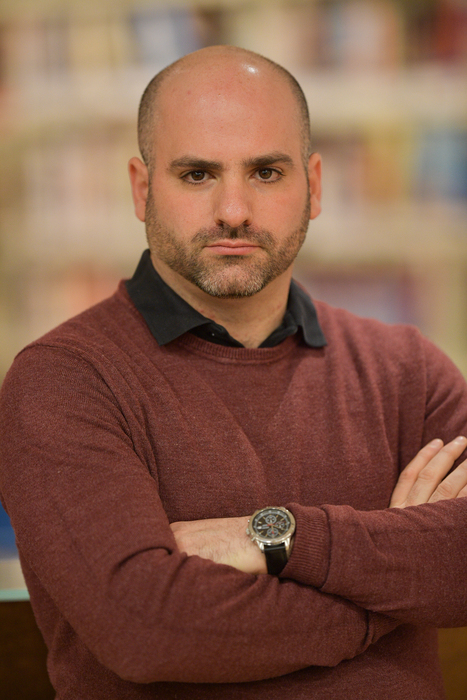 Department of Geography, The Hebrew University of Jerusalem, Israel
Yair earned his PhD in Geography from the Hebrew University of Jerusalem, studying human mobility behaviors using GPS traces. During his postdoctoral research at the GIScience Research Group in Heidelberg University, Germany he focused on large-scale data production events in OpenStreetMap and their effects. In his current research Yair studies, among other issues, the co-construction of mapping practices and data outputs. His broader research interests include Geographic Information Science, critical GIS, and digital representations of cultural and social phenomena and issues.
Dr. Peter Mooney
 Department of Computer Science, Maynooth University, Ireland
Peter is an Associate Professor at the Dept. of Computer Science in Maynooth University and has been working in the domain of geospatial data research for almost two decades. He is particularly interested in understanding the processes behind the collection of VGI data and how computing techniques such as machine learning can be applied to these datasets and sources. He is heavily involved in OSGeo activities in Ireland. His teaching philosophy sees the exclusive use of FOSS4G (Free and Open Source Software for Geomatics) and Open Data for all student teaching and learning activities. He is currently an editor of the Transactions in GIS journal.
Dr. Anna Zanchetta
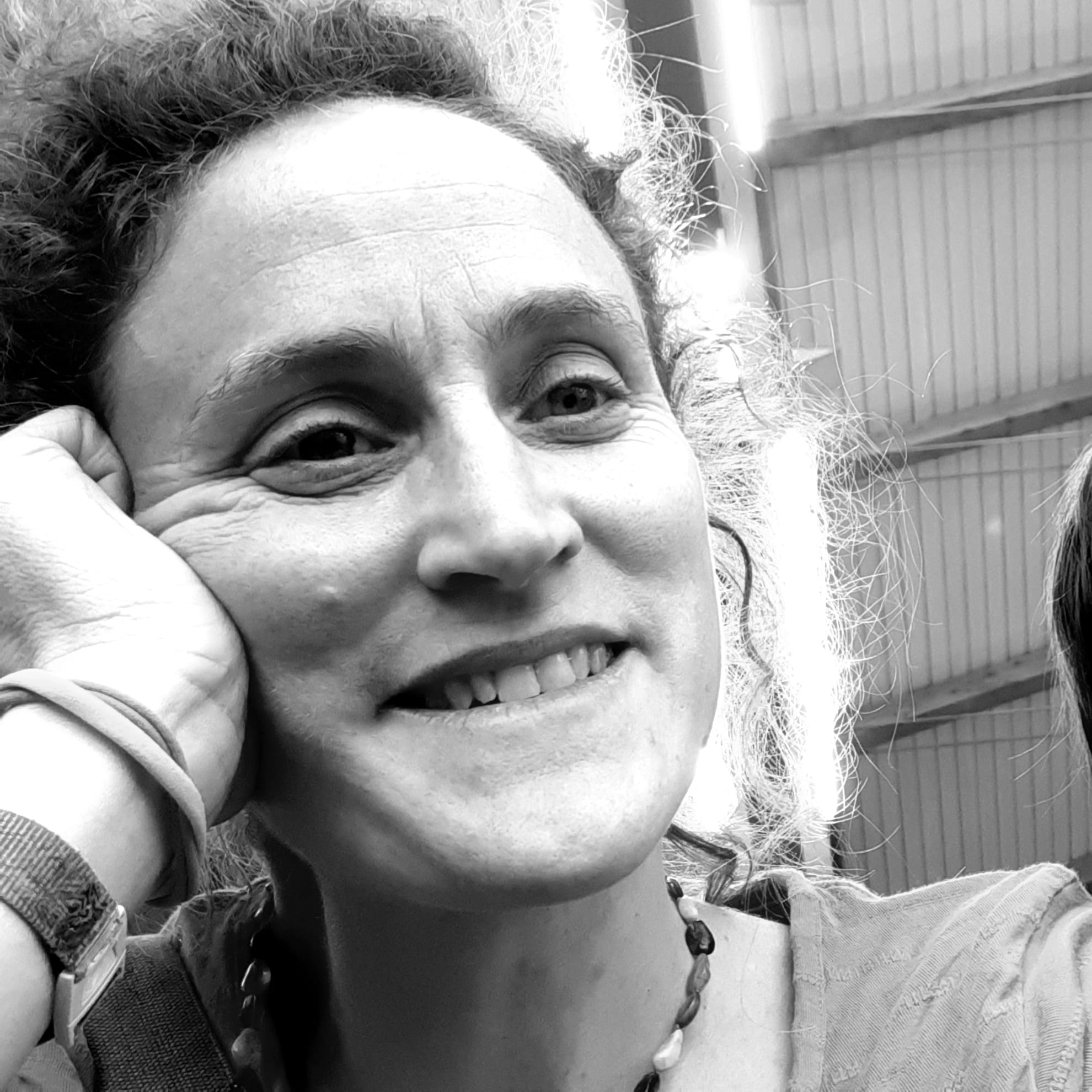 The Alan Turing Institute, London, United Kingdom
Anna is a Research Fellow based at the Alan Turing Institute in London, currently collaborating with HOT - the Humanitarian Openstreetmap Team, and HeiGIT - Heidelberg Institute for Geoinformation Technology. She has been active in open source and geospatial for the last 15 years, acting mostly in academic roles where she investigates and promotes the use of open tools and mapping, to tackle social inequality and enhance environmental sustainability.
Ma. Simeona Martinez
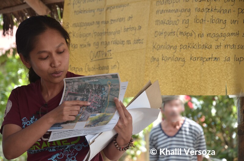 University of the Philippines Diliman, Philippines
Ma. Simeona “Ony” Martinez is Assistant Professor of the Department of Geography in the University of the Philippines Diliman. She teaches foundational courses in Digital Cartography, Geographic Information Systems (GIS), and Aerial Photo and Satellite Image Interpretation. She concurrently serves as Co-Convenor of the UP Center for Integrative and Development Studies Program on Alternative Development (UPCIDS AltDev). Her teaching and research engagements focus on counter-mapping and the use of Geographic Information Systems (GIS) and remote sensing technologies with particular emphasis on their application in collaborative, community-based research. She helps organize collaborative extension projects among diverse stakeholders such as educators, researchers, development workers, and community-based organizations that underscore the utility of platforms and spatial tools such as OpenStreetMap and QGIS for rights advocacy and community-oriented development planning. She is interested in the critical potential of participatory and counter-mapping practices to challenge dominant spatial narratives and in exploring the elements of spatial politics within the context of disaster risk and neoliberal development. Ony is a member of the Philippine Geographical Society, and a cartographer and researcher at Countermapping PH Network.
Briane Paul Samson
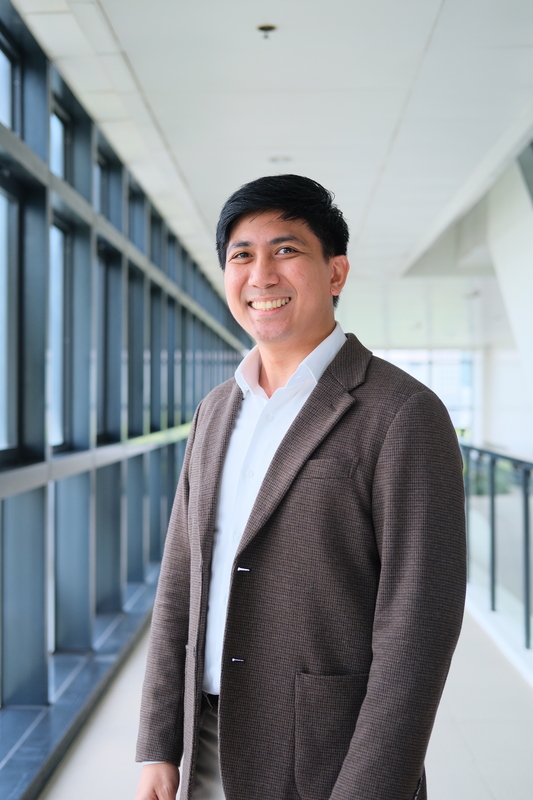 De La Salle University, Philippines
Briane Paul V. Samson is an Associate Professor of Computer Science and Informatics in the Department of Software Technology, College of Computer Studies at De La Salle University. He is currently the Executive Director of the Dr. Andrew L. Tan Data Science Institute, where he leads the coordination of AI and data science-related academic and research programs in the university. He also directs the Human-X Interactions Lab, where he focuses on integrating human-computer interaction and complex systems research in developing civic media and technologies promoting prosocial behavior. He develops human-centered and interactive technologies and digital twins to improve personal productivity and well-being and assess and manage urban mobility, transportation services, and disaster preparedness and response. At the same time, he investigates the underlying and complex dynamics of sociotechnical systems (e.g. crowds, social networks), especially with the introduction of technological solutions.